
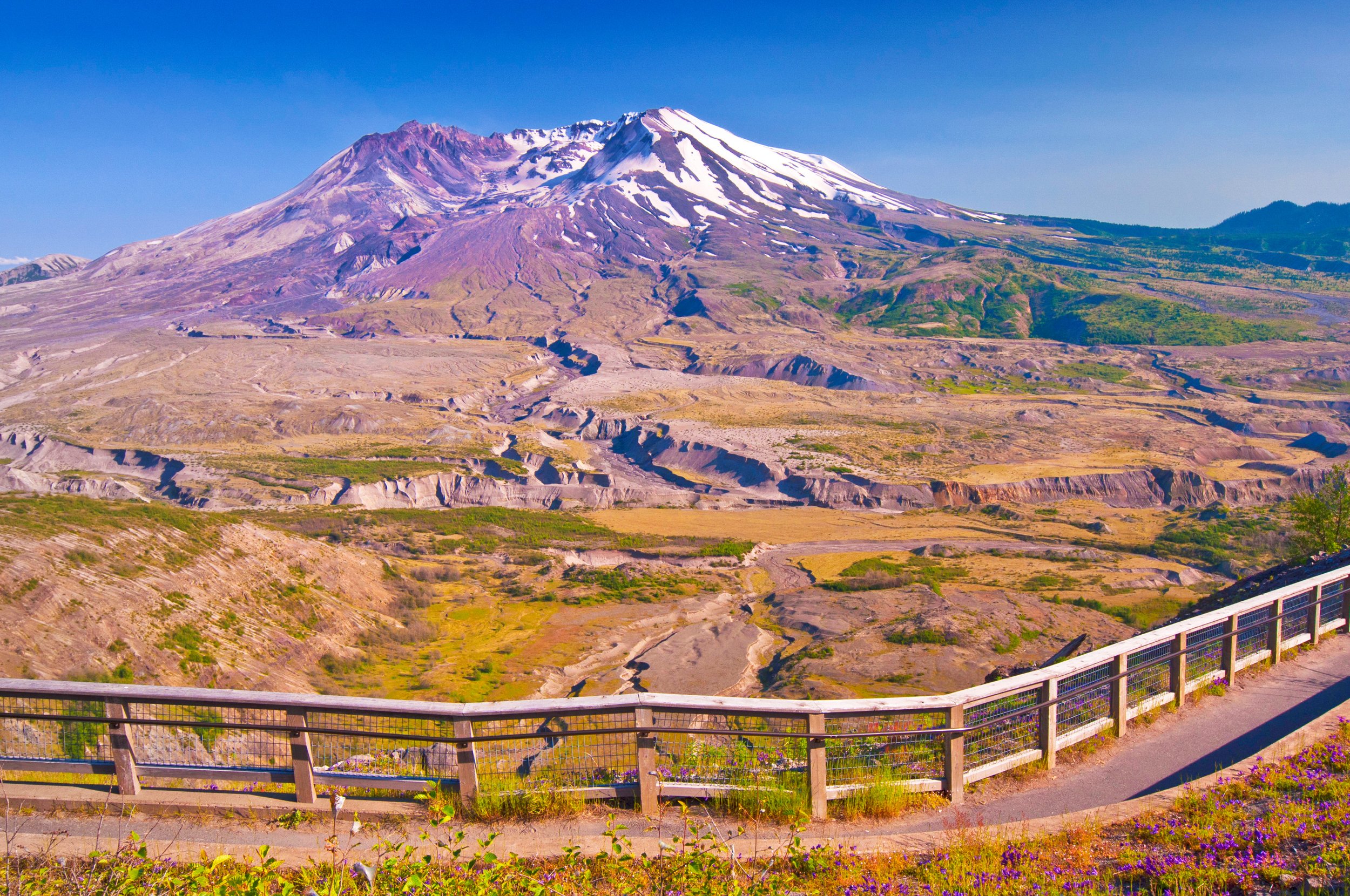
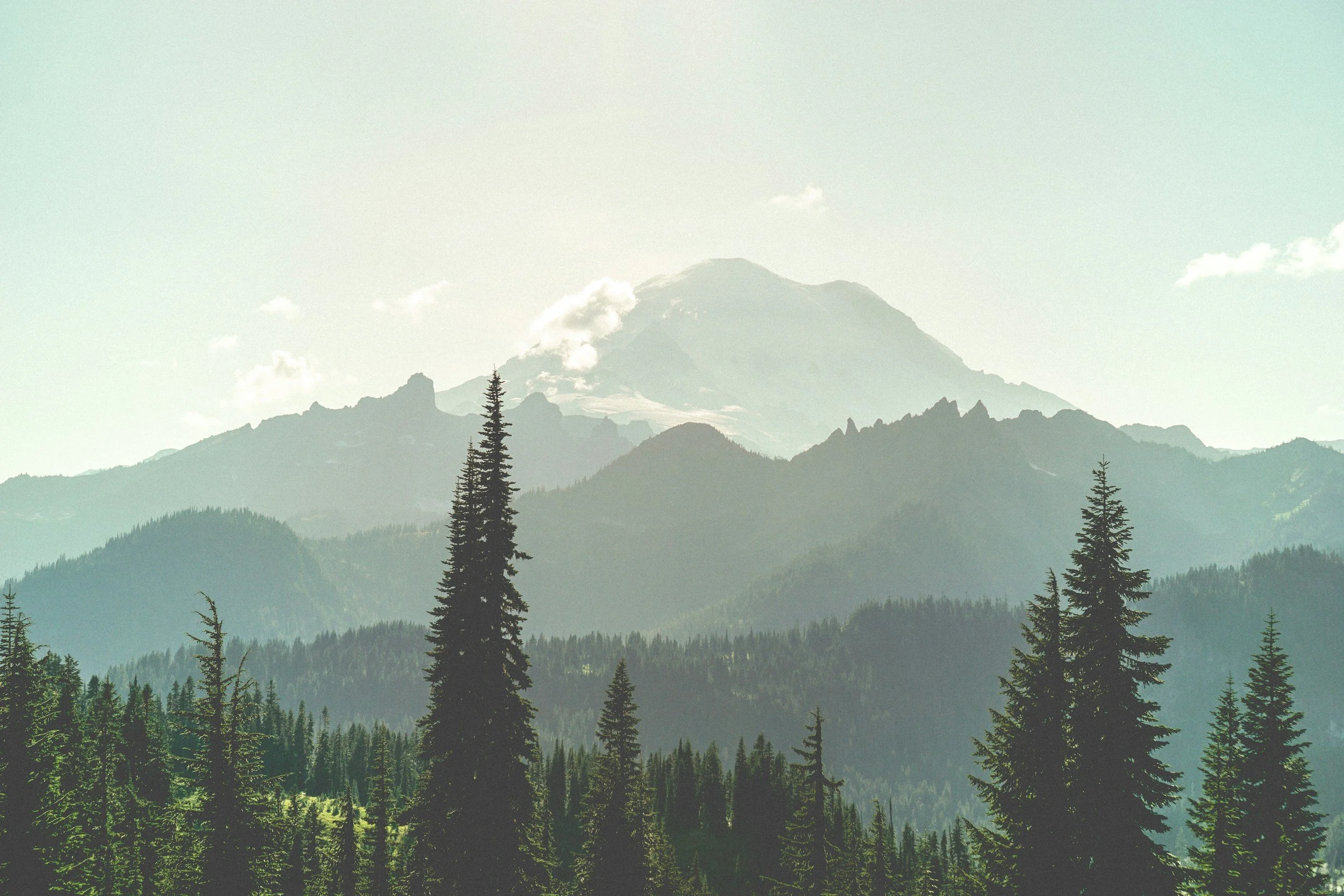
Federal Lands are our nation’s Greatest treasure!
Once gone, they will be lost forever.
Discover and understand federal recreation in Washington State, and then take action to support and protect these resources!
The Threat
In the first month of the Trump administration, more than 1,000 permanent National Park Service (NPS) and 3,000 US Forest Service (USFS) workers were fired, and a hiring freeze was imposed that impacted the hiring for seasonal employees critical to the summer operation of public lands and recreation. The affected positions include every aspect of operations from trail maintenance and search and rescue, to visitor services, maintenance and fire protection. All of this comes at a time when, even before Trump’s inauguration, these agencies were trying to manage surging demand for recreation with stagnant budgets, impacting both the visitor experience and the protection of these priceless resources. To make things worse, the Trump administration has also talked about selling off some public lands, rescinding protections and and increasing logging and mineral extraction. The exact impact of Trump’s policies on public lands is unknown, hiring freezes for some positions have been lifted and some workers have been restored, at least temporarily, but the direction of the administration’s policies is clear.
The Lands and Recreation
In Washington State, over 8 million acres of recreation lands, over 74% of the state’s total, are owned and managed by Federal agencies, not just NPS and USFS, but BLM, The US Fish and Wildlife Service (USFWS), The Army Corps of Engineers (ACE), the Bureau of Land Management (BLM), the US Bureau of Recreation and several branches of the US Military. The Federal government also owns almost 67% of the state’s total public campgrounds, 66% of trail miles and 20% of water access points. Congress needs to demand protection for these assets: both adequate funding so that they can be operated safely and maintained for future generations, and guarantees that they will not be sold off to the highest bidder.
Details on Federal Resources
Washington State recreation data from the Northwest Portal data set
Data by Congressional District, State Legislative District and County
This data includes recreation resources open to the public that are managed by Federal, State, County, City, Non-Profit, Tribal, Utility or Port organizations.
Share of federal recreation resources is the percentage of the state’s total federal resources (land, trails, water access, campgrounds) that in the designated area. Share of land that is federal is the percentage of the area’s total recreation resources that are federal. For example, Chelan county has 12.7% of all of Washington State’s federal recreation land and 95% of all recreation land in Chelan is owned by the Federal Government.
Federal Recreation Map
Explore Washington’s amazing federal recreation
Use the filters to find federal resources by agency, activity or amenities or scroll around on the map to explore what the federal government offers.
Click on any area spot to get more details. Scroll down the information box to find the Congressional and State Legislative Districts, the name of your representatives and a link that you can use to contact them.
This map highlights federal recreation with filters that only consider federal facilities. Discover all recreation in Washington State with our summer, off-roading and winter recreation maps that have all types of recreation and all land managers.
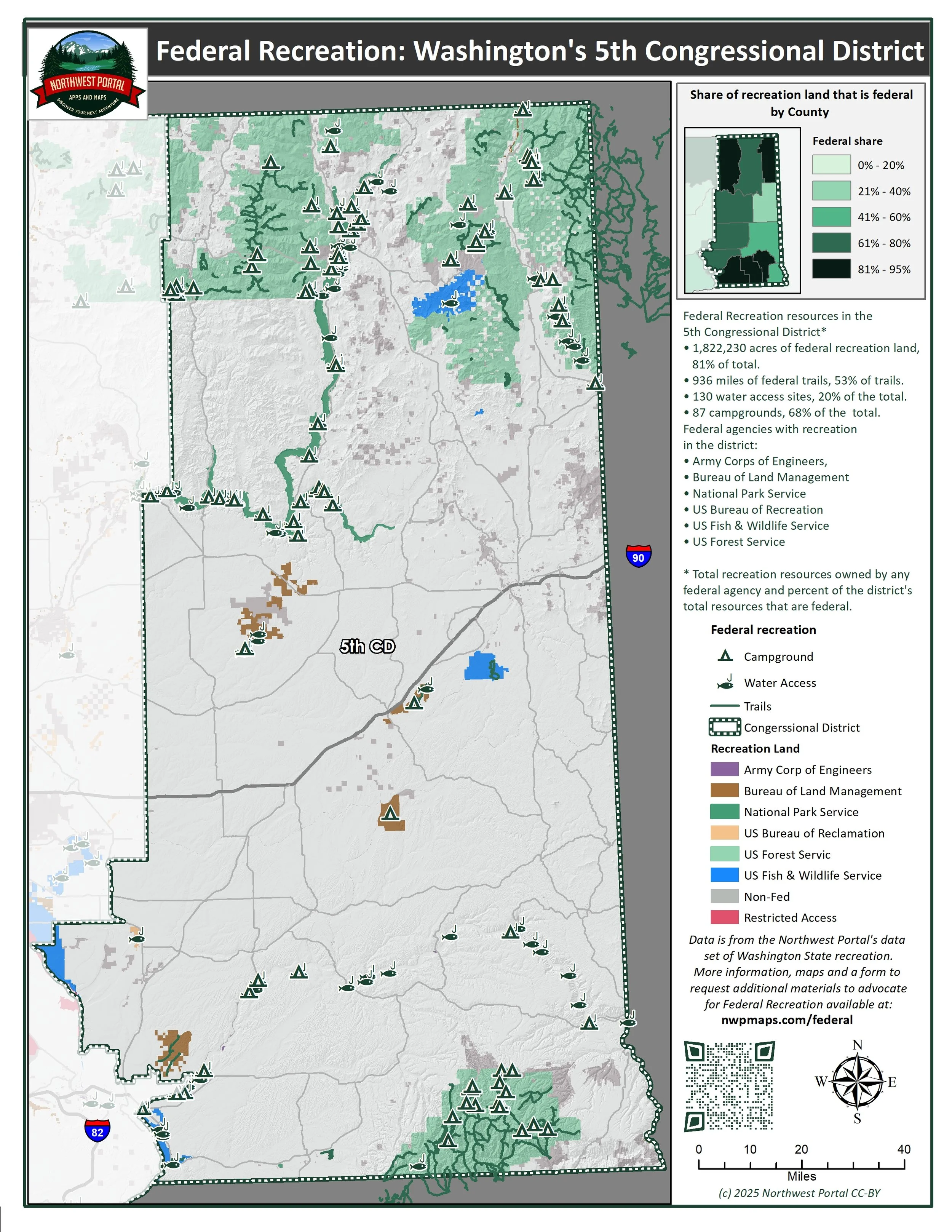
Information sheets for federal recreation in the state as a whole and in the two Republican controlled Congressional Districts.
Congressional District 4: Congerssman Dan Newhouse (R),
Congressional District 5: Congressman Michael Baumgartner (R)


Northwest Portal is sharing this data to help people visualize how important federal lands are to our recreation.
Feel free to use the maps to help get the word out. Let us know if these maps are helpful.
Let us know if you would like a custom map to help highlight the information that is important to you. We can do map sheets for any area or activity and we can do maps customized (size and colors/black and white) for publications or fliers. We can do more analysis for areas within Washington State, but are happy to do maps and statistics for major public lands in other parts of the United States.
These maps are provided as a public service.