
Northwest Portal
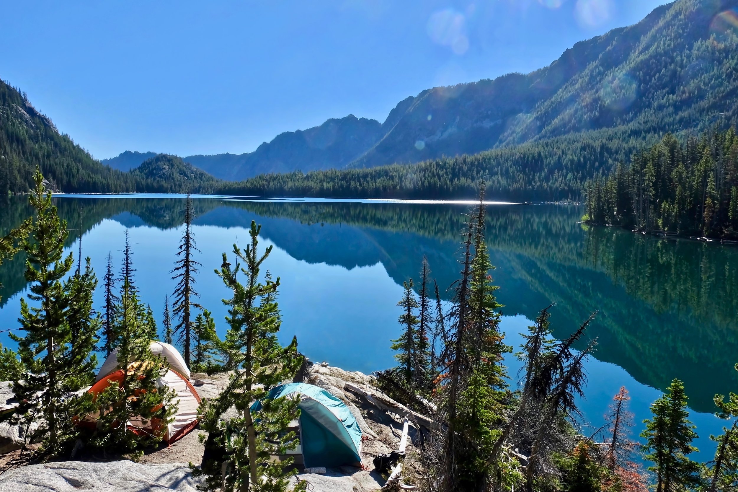
Northwest Portal maps put everything you need to plan your next outdoor adventure in one place.
No more switching between multiple agency web sites, struggling to figure out what recreation pass you need, or wondering if your favorite activity is allowed. Find all types of recreation areas, routes and facilities managed by public, non-profit, tribal and private organizations. Maps are updated regularly to show seasonal and emergency closures. Plus, we offer maps designed for different types of activities and interests.

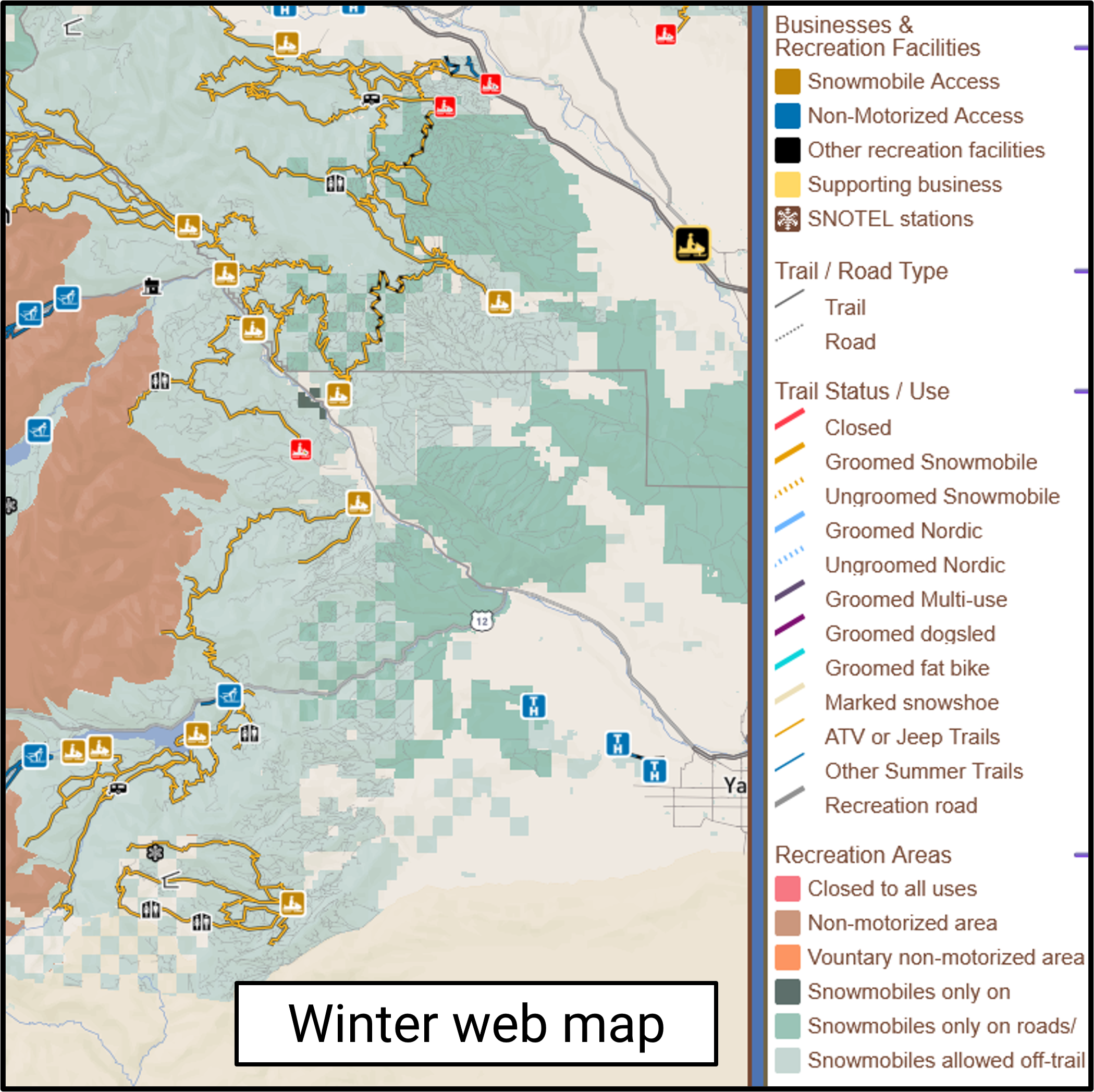
Pick a web map: outdoors —- winter —- off-roading — dogs —- boating
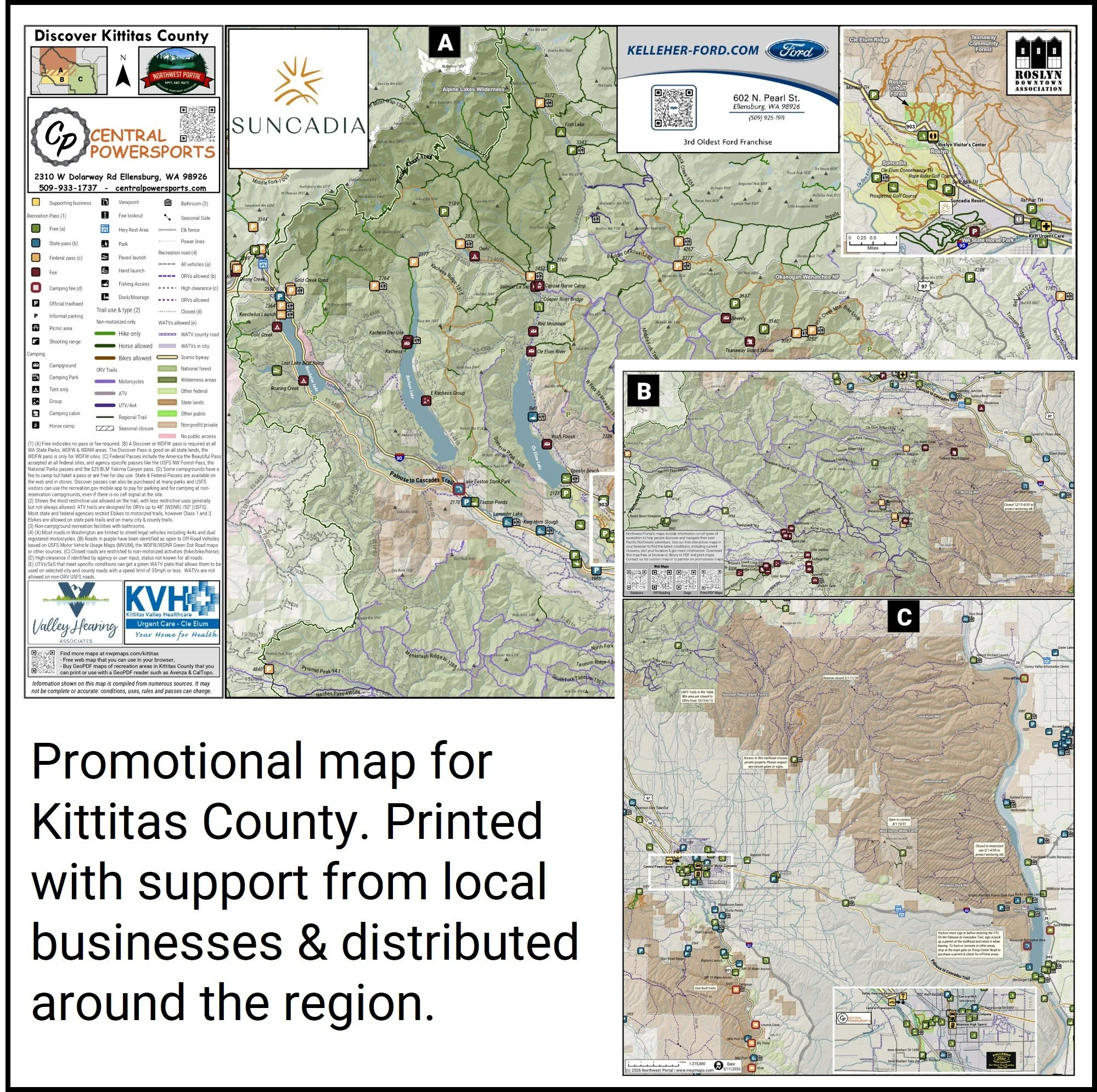
Use one of our free interactive maps in your browser, pick up a Kittitas County promotional map around town, buy a PDF map that you can print or use with a GeoPDF reader, request a custom map or subscribe to data that you can use on your own maps.
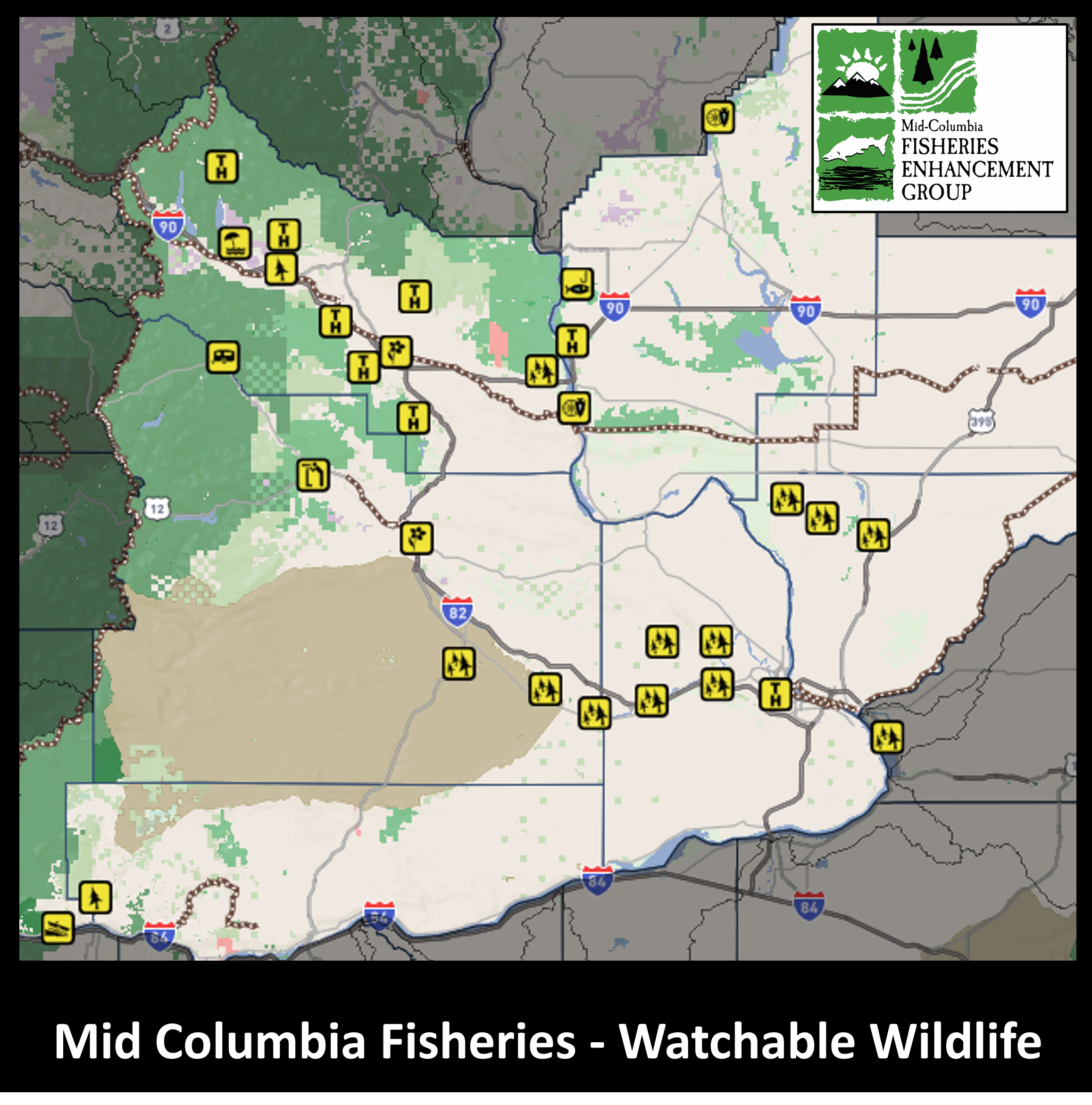
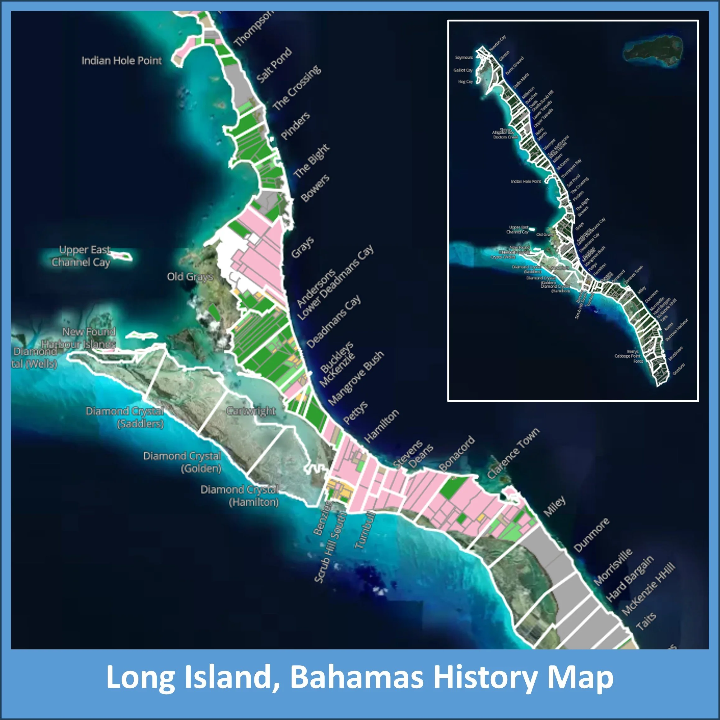
Or check out one of our partner projects!
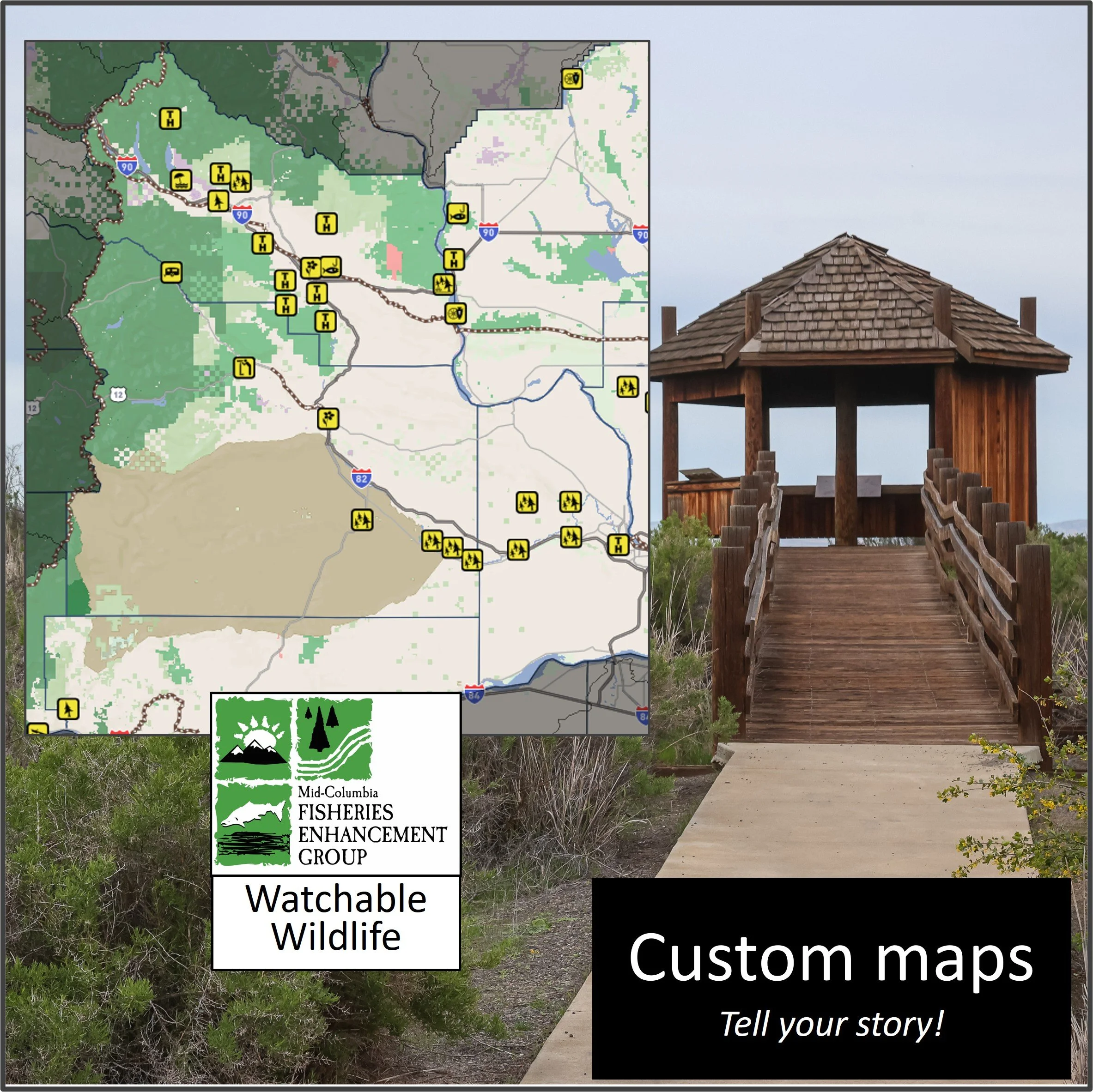
Long Island Bahamas History or Mid-Columbia Fisheries Watchable Wildlife
What is Northwest Portal?
Northwest Portal is a recreation data project that started in 2009 to make it easier for people to explore the full range of recreation opportunities in Washington State. It was inspired by the founders experience as a new Washington resident with young children, who struggled to find places to take them despite living surrounded by public lands.
There are three core ideas behind the Northwest Portal project.
People want to find places to recreate that have the activities and amenities they love, regardless of who owns or manages them. Each agency has its own web pages, but they only show that organizations opportunities. By puling together information from all these organizations, adding details that people care about, and then putting it on maps, people can find everything in one place and plan their adventure more easily. Northwest Portal adds information such as what recreation pass is required, what amenities each location has, what sports are allowed, plus web links so people can get more information directly from the official source.
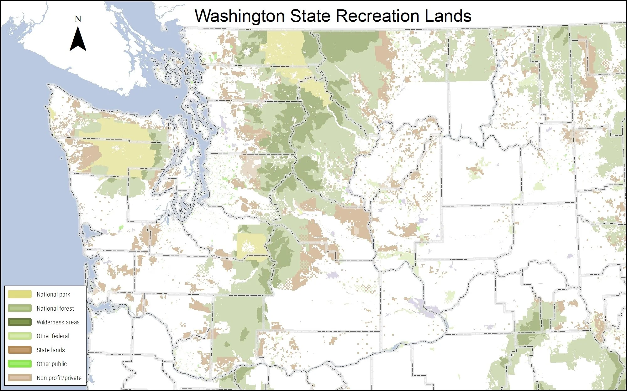
Northwest Portal has information on more than 23,000 recreation opportunities managed by 1000+ organizations, including all major federal and state agencies, counties, cities, non-profits, tribes and private organizations
Information is constantly changing. Emergency and seasonal closures can affect what recreation opportunities are available, new locations open, old locations close and allowed activities and amenities can change. Northwest Portal works to keep the information as current as possible, using official sources to make sure that we don’t add places that are closed to the public, or opportunities not approved by the manager. During fire season, Northwest Portal monitors fire activity and updates the maps as closures are announced, both closure areas and specific closures and we also do our best to identify any temporary closures, such as from landslides, washouts or timber sales; and regular seasonal closures of roads, trails and facilities. In addition, Northwest Portal regularly adds new locations, removes places that have closed, and checks agency websites to identify updates. The Northwest Portal web maps are updated at least twice a month (more often during fire season), to show these changes and print maps are always generated with the latest information.
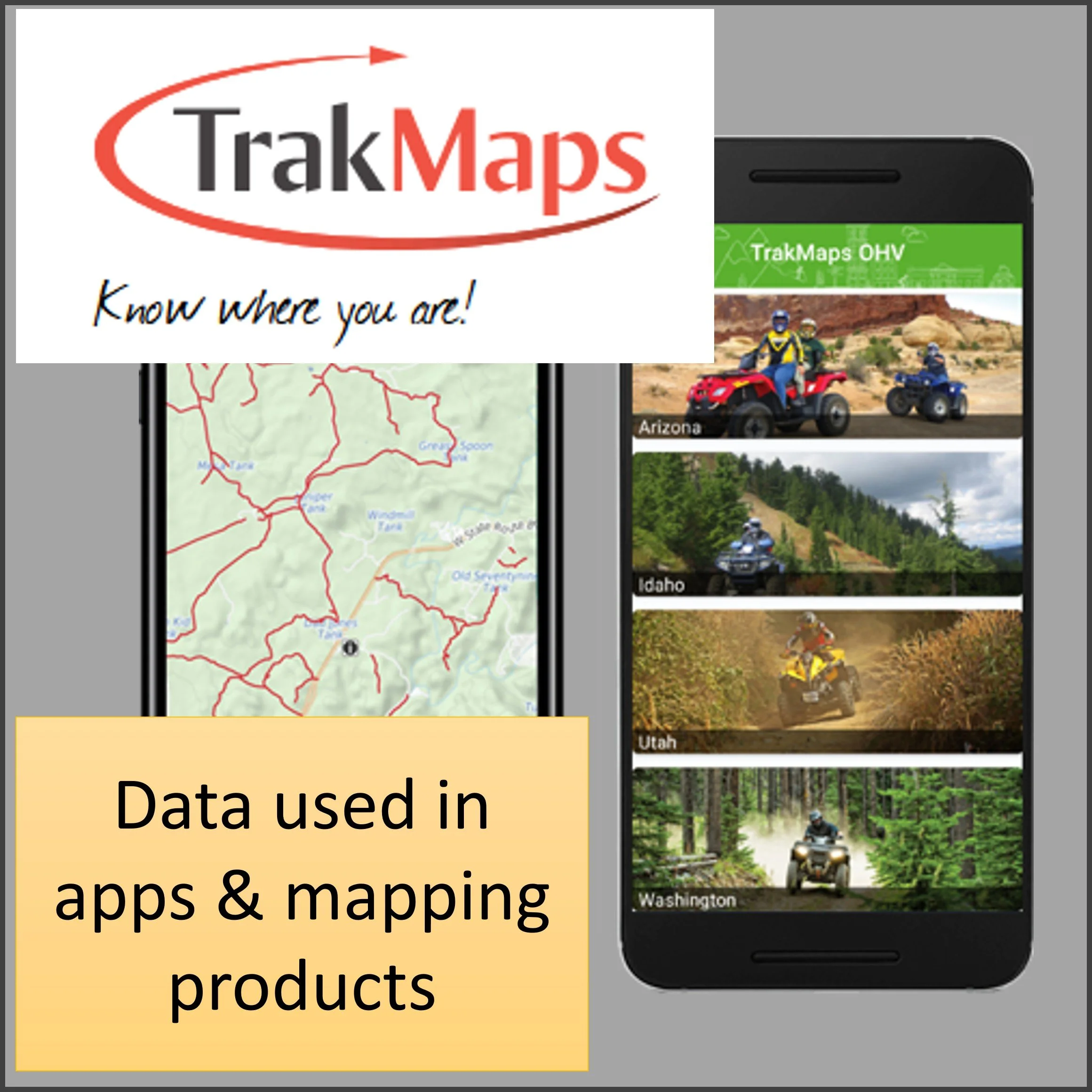
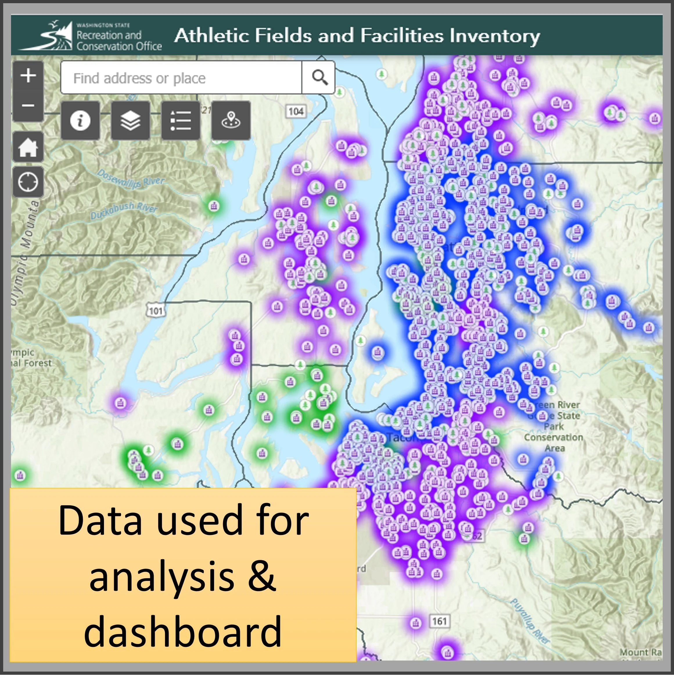
Data can serve many purposes. Instead of building a dataset for just one use, Northwest Portal has created one that can solve many different needs. The data can be integrated into web maps, print maps and apps managed by Northwest Portal or by our clients. It can be used for studies, grant applications, and to evaluate impacts of changes to recreation opportunities.

Northwest Portal Products & Services
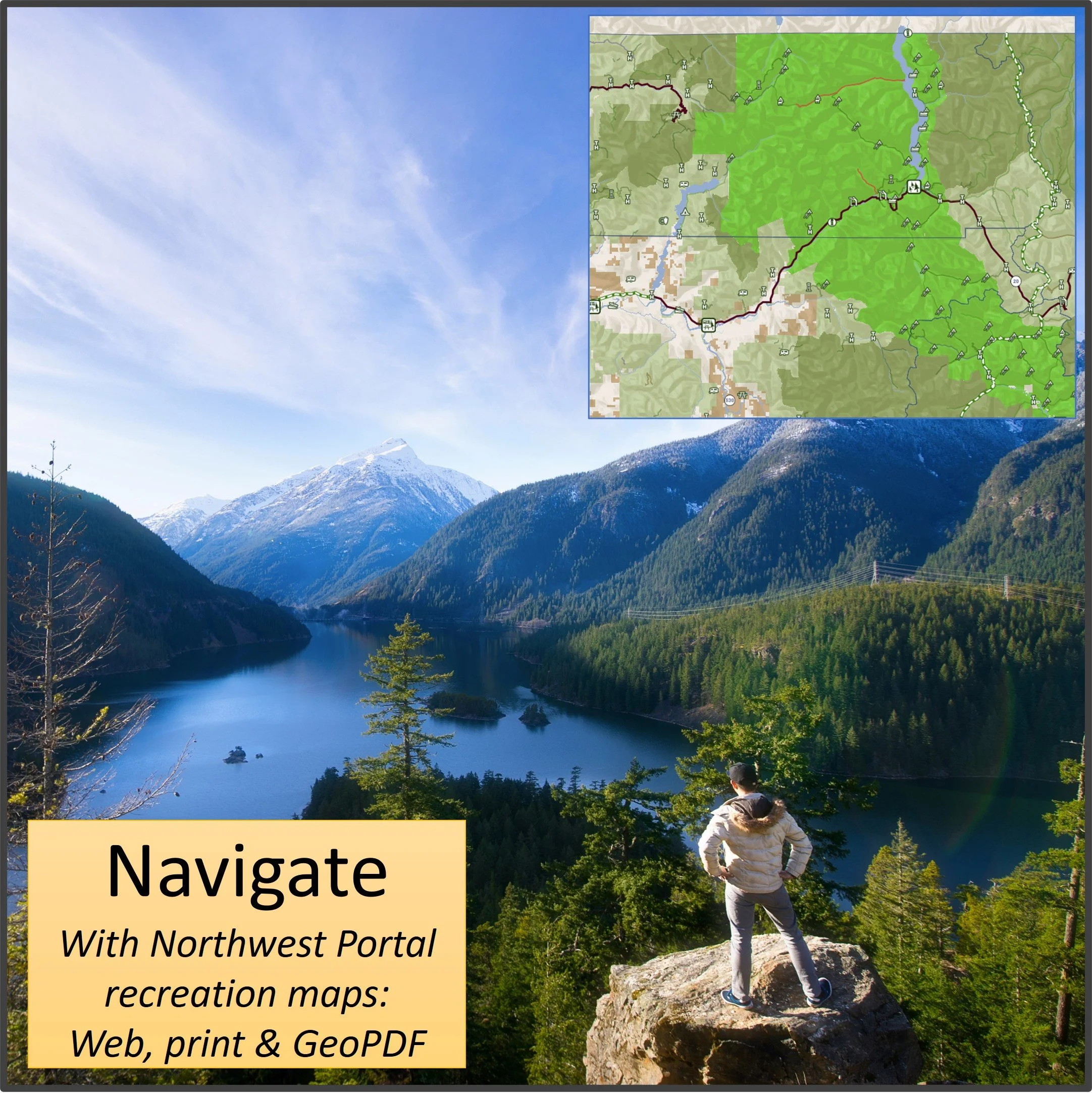
Interactive (web) maps
Free maps for outdoors/all summer recreation, winter, off-roading, dogs & boating
Custom maps of any area or topic.
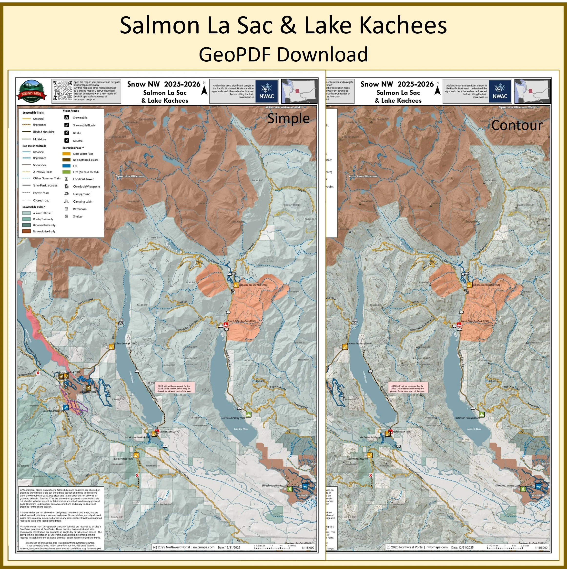
Print Maps
Buy PDF recreation maps of different areas and activities that you can download and print or use with a GeoPDF reader such as Avenza or CalTopo.
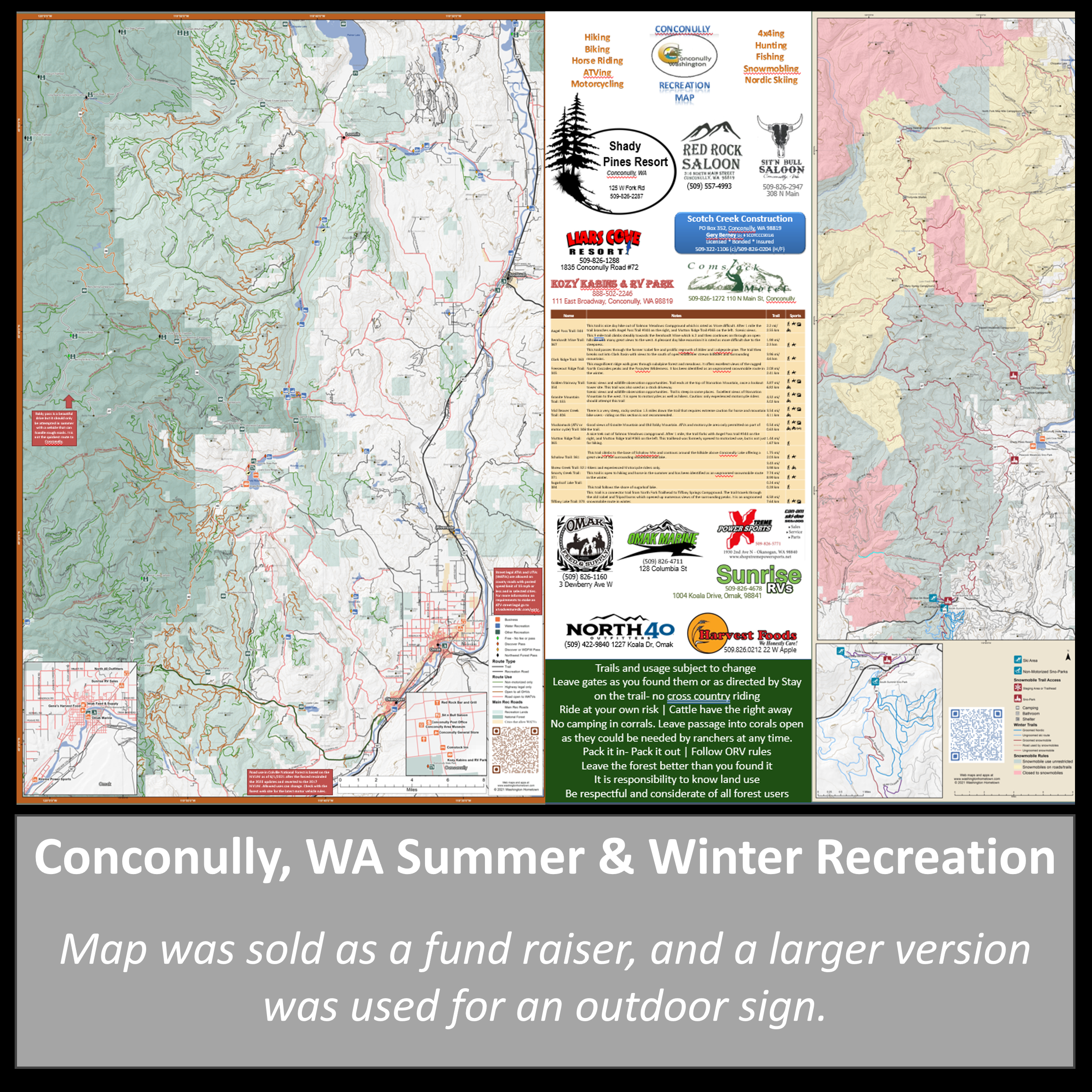
Pick up a copy of the free Kittitas County recreation map at locations around town, or partner with us to do a promotional map of your area.
Get custom print maps for your area or interest that you can print to sell or give to visitors.
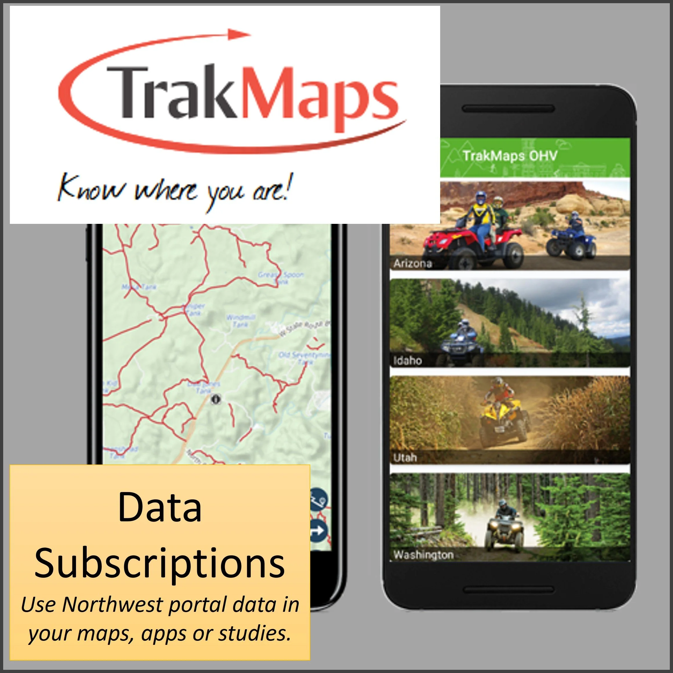
Data subscriptions
Data licenses available for any area, activity or data set.
All of the data is updated regularly to reflect seasonal/emergency closures and new recreation opportunities.
Data is available in several formats, including shapefiles, kmls and GeoJason. Mapbox users can also pull directly from our Mapbox data portal.