 Image 1 of 3

 Image 2 of 3

 Image 3 of 3


Washington Snowmobile Trails Bundle
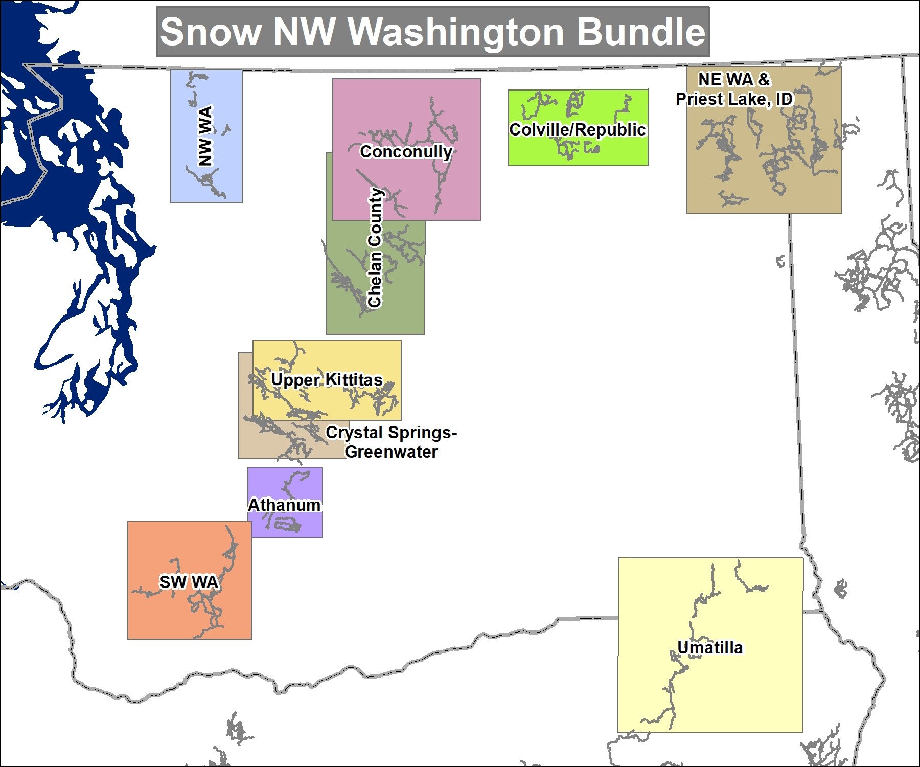
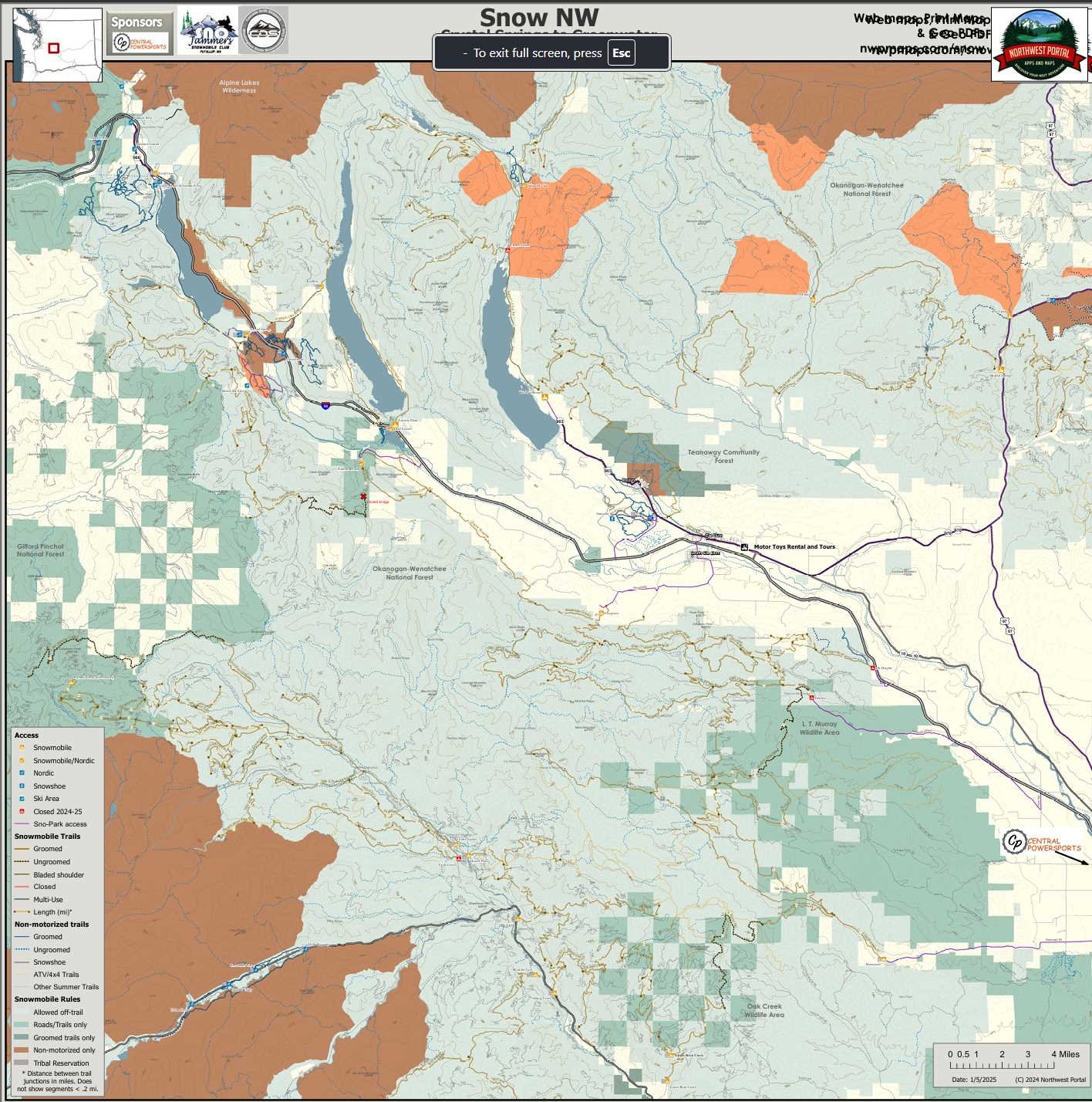
This bundle of 10 maps covers all groomed snowmobile trails in Washington State with connected trails in Priest Lake Idaho and Umatilla, Oregon. The maps were designed for use on Avenza and are updated annually to show seasonal and temporary closures and changes to groomed routes. It has all of the groomed snowmobile trails, designated ungroomed routes, trail access/Sno-Parks and winter facilities. The maps also shows 4x4 and other summer trails and recreation roads. Public lands are color coded to show where users can ride off-road/trail, where they must stay on trail and areas where snowmobiles are not allowed and the maps include Nordic/snowshoe trail systems although they are not optimized for those activities. The maps show contiguous riding areas and range in scale from 1:80,000 to 1:150,000 and are 30”x30”, 40”x22” or 22”x40” depending on the layout of the trails.
This bundle of 10 maps covers all groomed snowmobile trails in Washington State with connected trails in Priest Lake Idaho and Umatilla, Oregon. The maps were designed for use on Avenza and are updated annually to show seasonal and temporary closures and changes to groomed routes. It has all of the groomed snowmobile trails, designated ungroomed routes, trail access/Sno-Parks and winter facilities. The maps also shows 4x4 and other summer trails and recreation roads. Public lands are color coded to show where users can ride off-road/trail, where they must stay on trail and areas where snowmobiles are not allowed and the maps include Nordic/snowshoe trail systems although they are not optimized for those activities. The maps show contiguous riding areas and range in scale from 1:80,000 to 1:150,000 and are 30”x30”, 40”x22” or 22”x40” depending on the layout of the trails.
This bundle of 10 maps covers all groomed snowmobile trails in Washington State with connected trails in Priest Lake Idaho and Umatilla, Oregon. The maps were designed for use on Avenza and are updated annually to show seasonal and temporary closures and changes to groomed routes. It has all of the groomed snowmobile trails, designated ungroomed routes, trail access/Sno-Parks and winter facilities. The maps also shows 4x4 and other summer trails and recreation roads. Public lands are color coded to show where users can ride off-road/trail, where they must stay on trail and areas where snowmobiles are not allowed and the maps include Nordic/snowshoe trail systems although they are not optimized for those activities. The maps show contiguous riding areas and range in scale from 1:80,000 to 1:150,000 and are 30”x30”, 40”x22” or 22”x40” depending on the layout of the trails.
