Northwest Portal
Discover and share what the Pacific Northwest has to offer with the best recreation information for the region.
Recreation maps to plan and navigate summer, motorsports and winter adventures. | Custom maps to tell your story, share what makes your community special, illustrate articles or products that you can print and sell. | Recreation data subscriptions: add the latest data to your maps.
Partner Projects
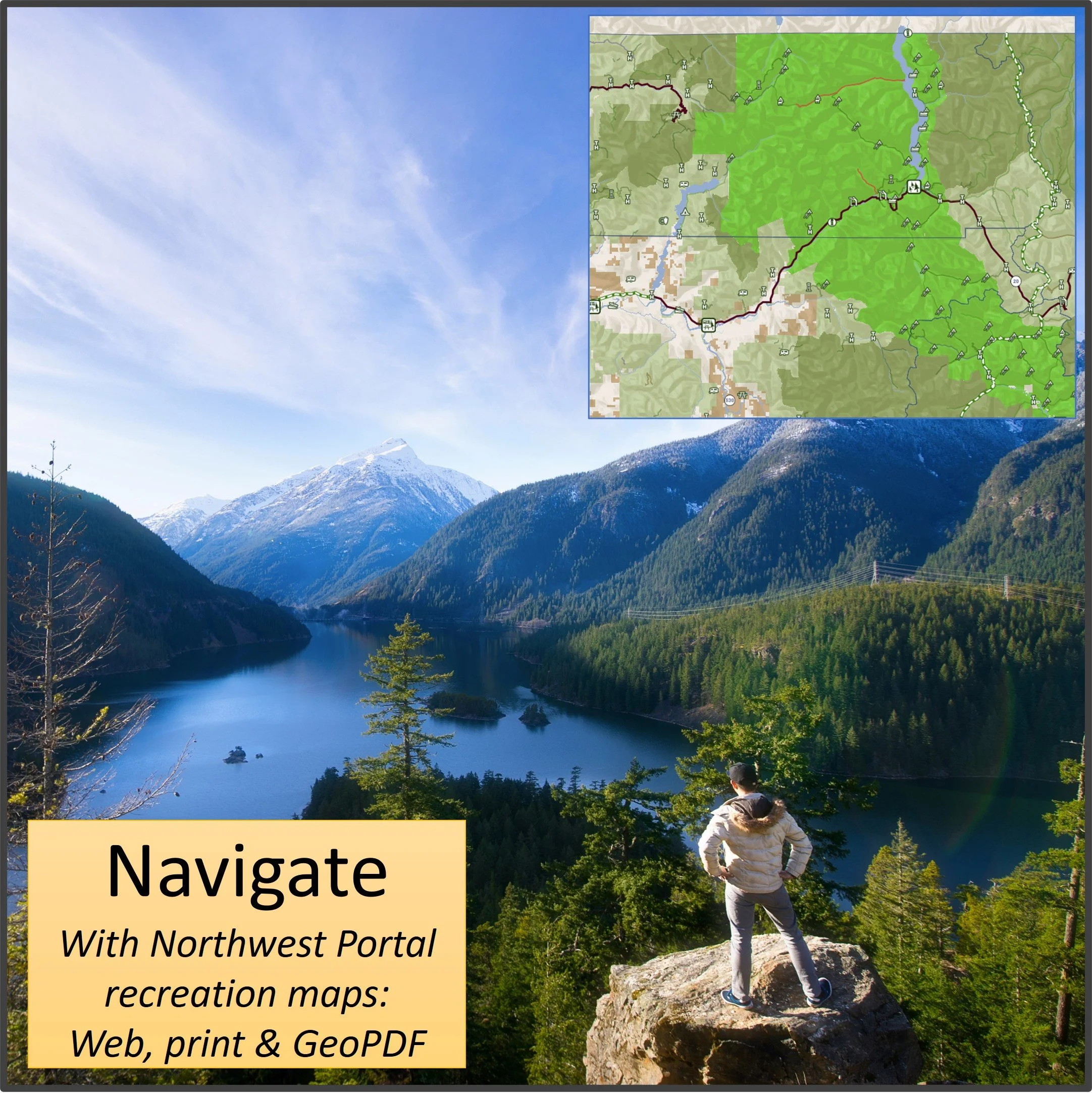
Plan & navigate with
Northwest Portal Maps
Use our free web maps in your browser.
Pull up the map in your browser, navigate with your GPS, use the search and filter features to find the perfect destination.
Learn more about our projects and buy tabloid and poster GeoPDF maps that you can download and print or use to navigate on your phone.


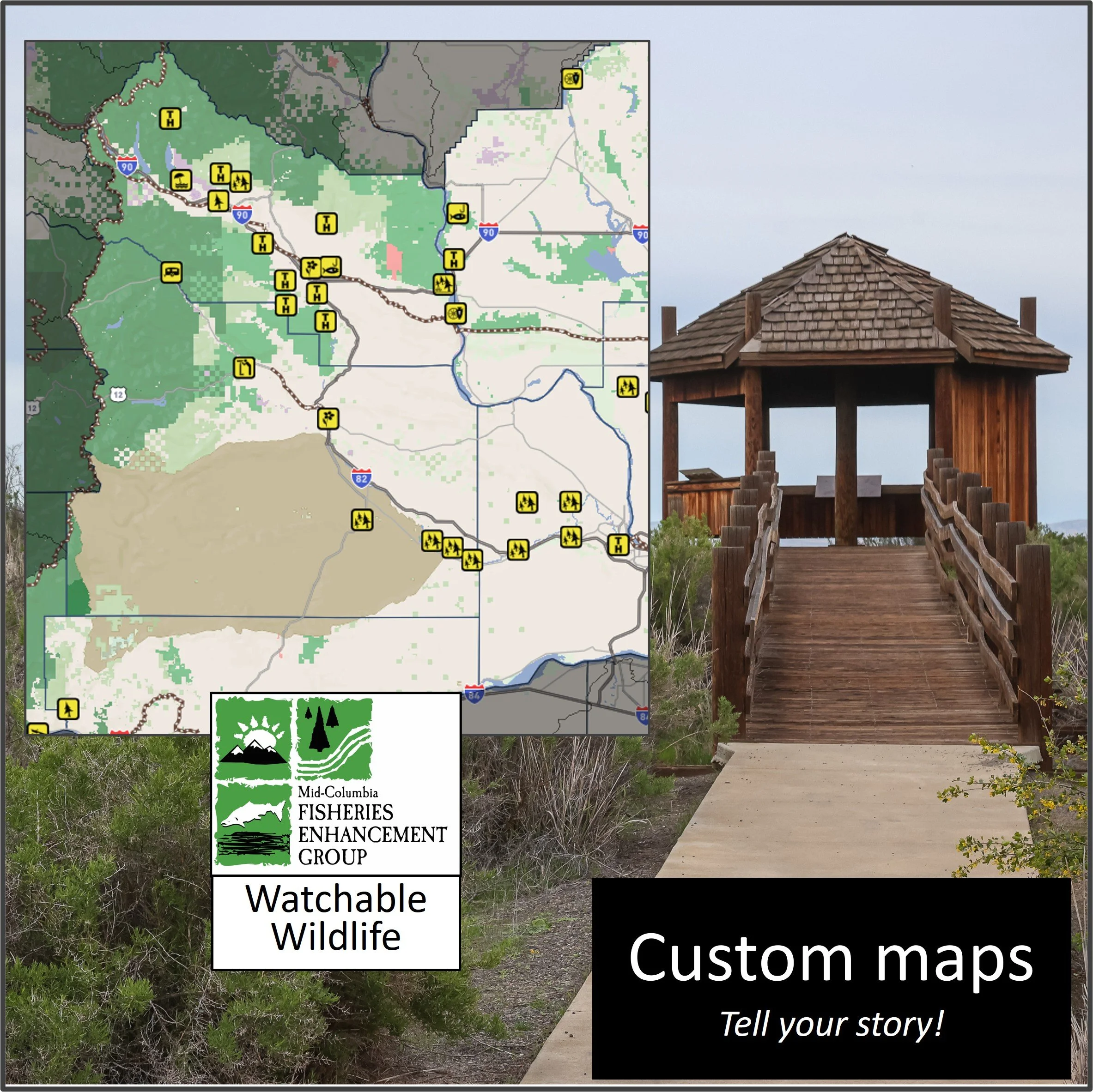
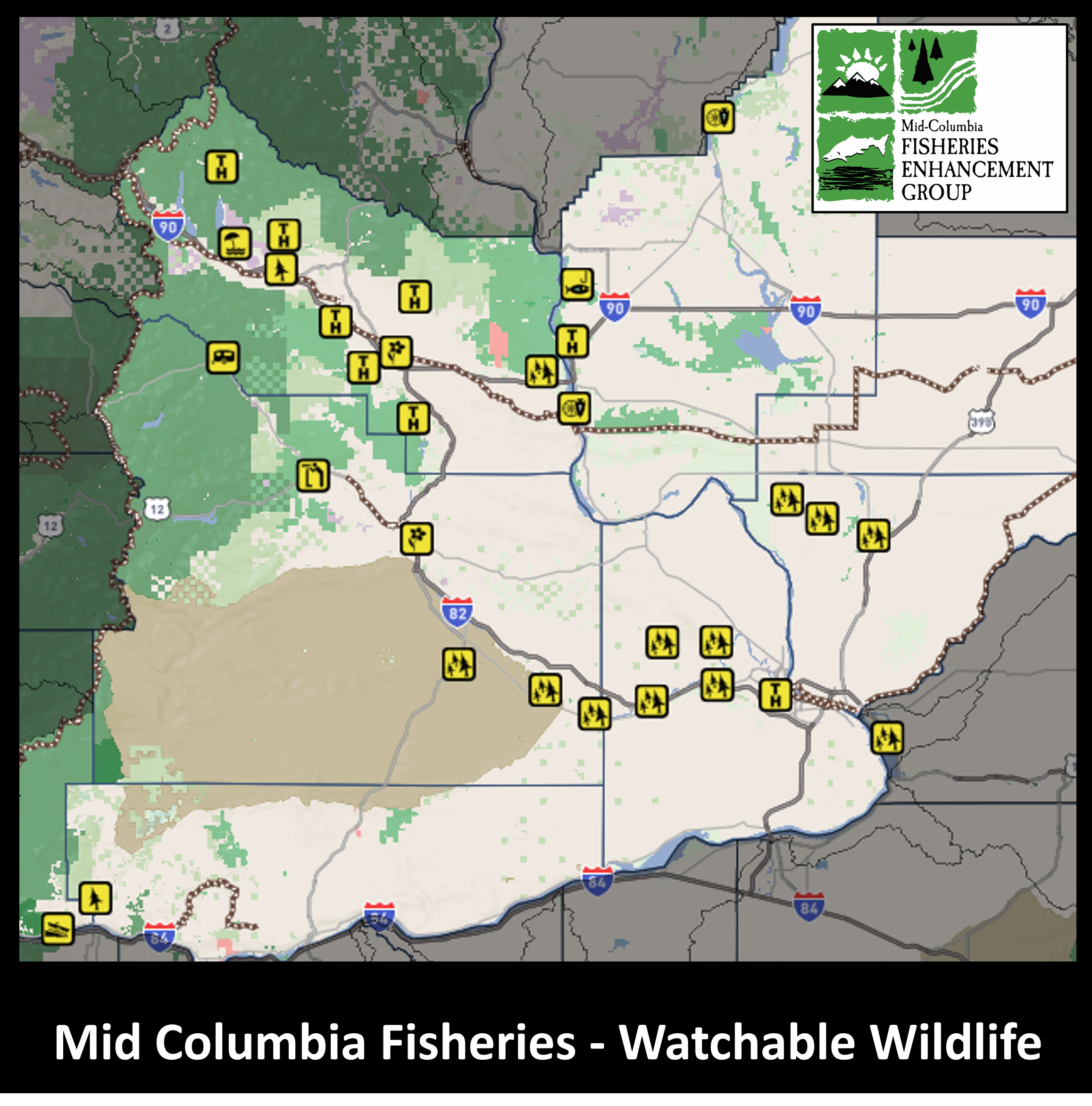
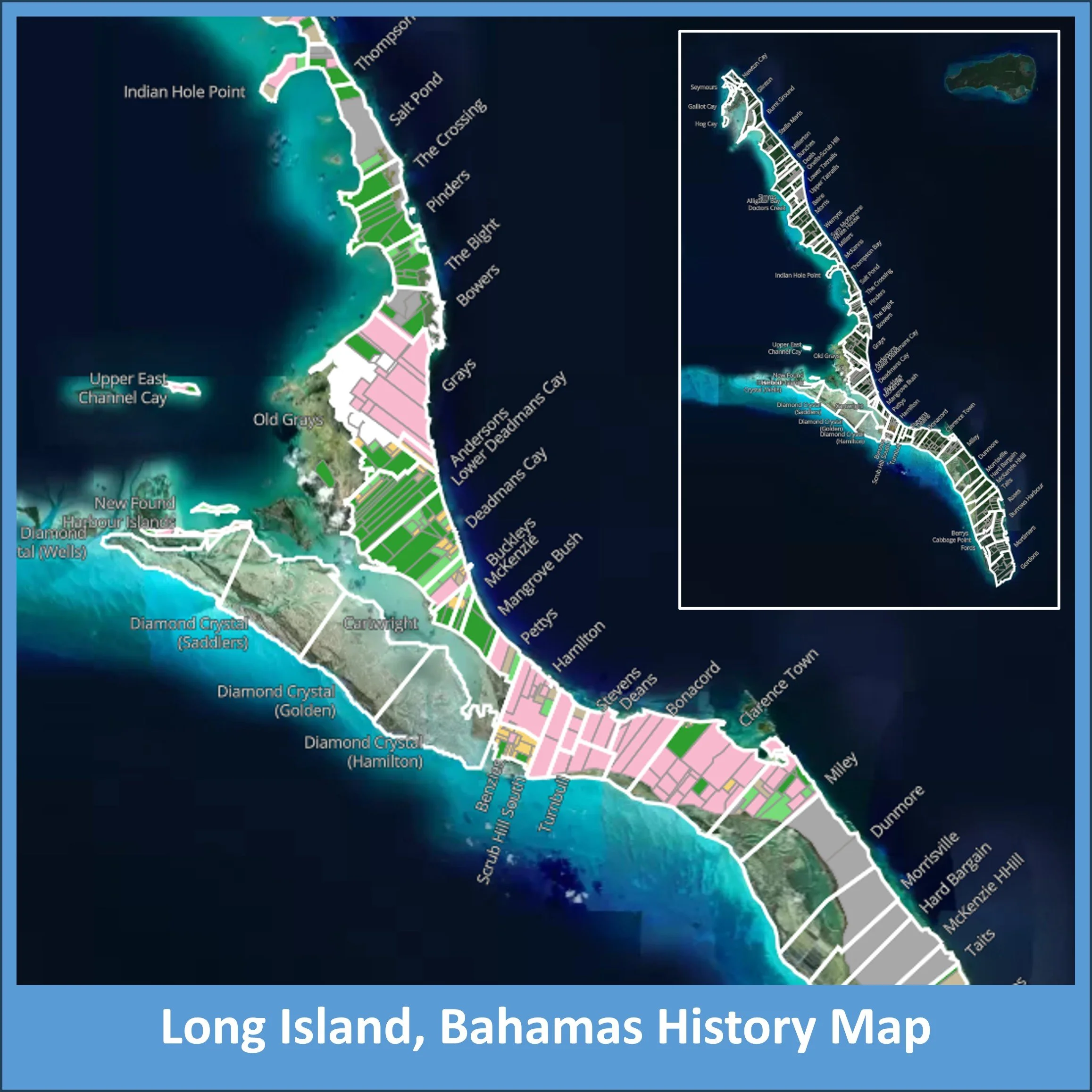
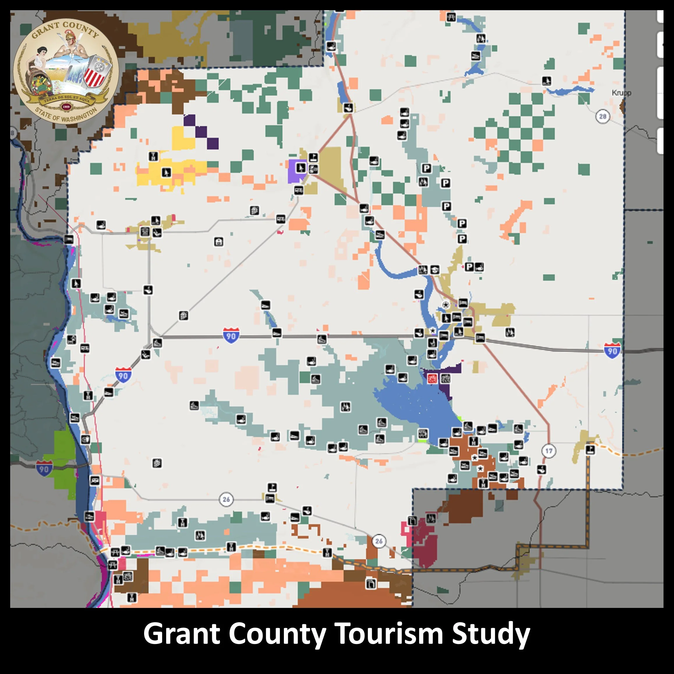
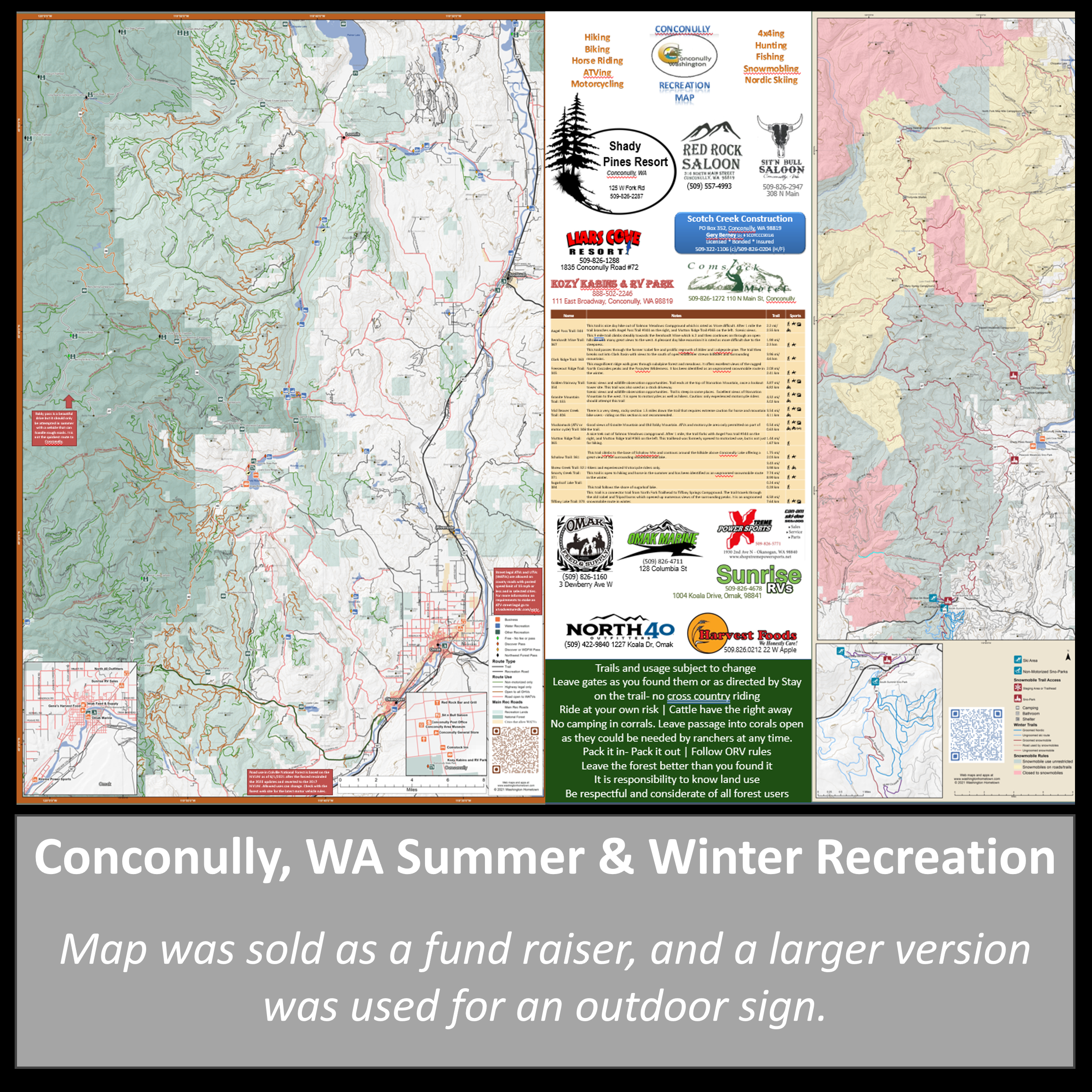
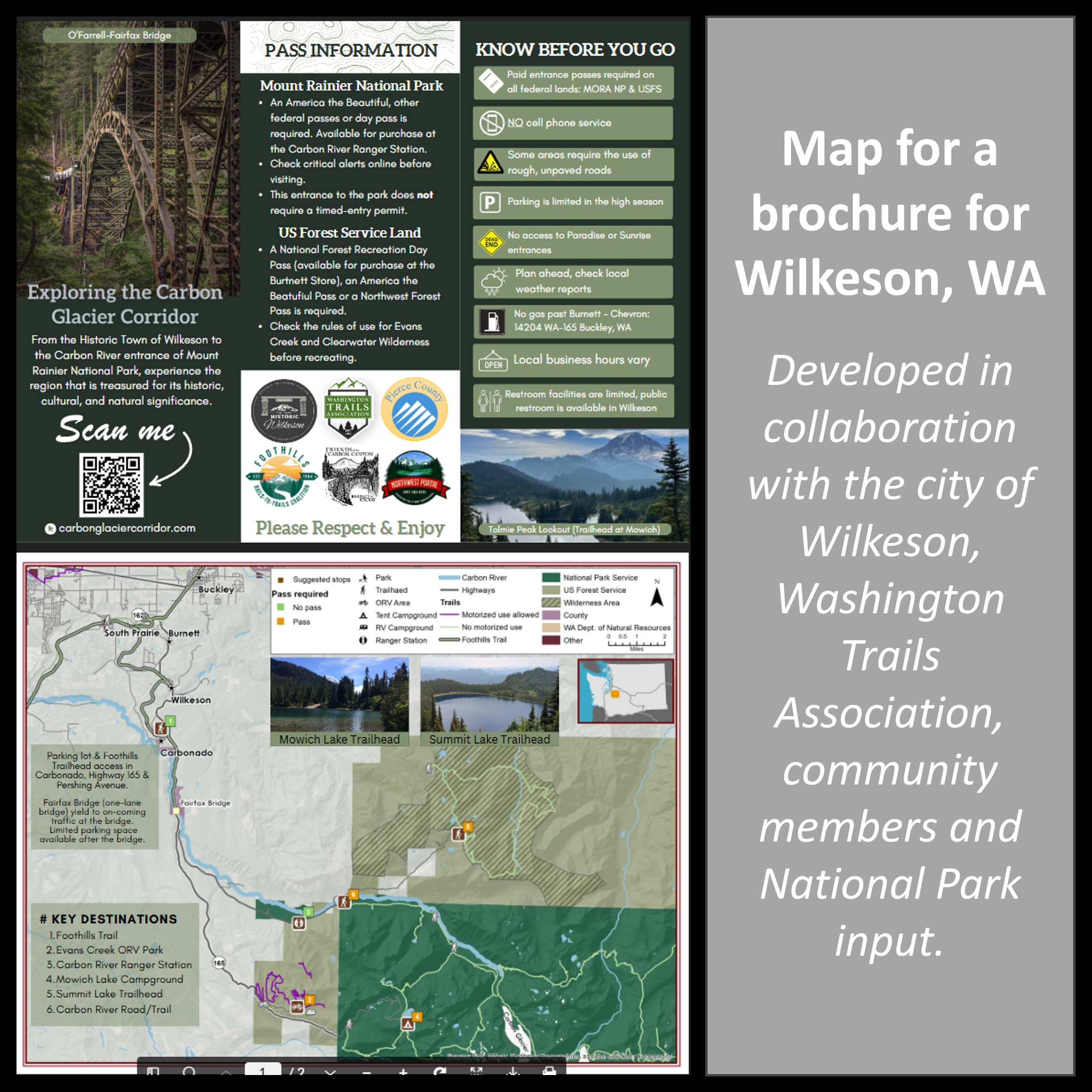
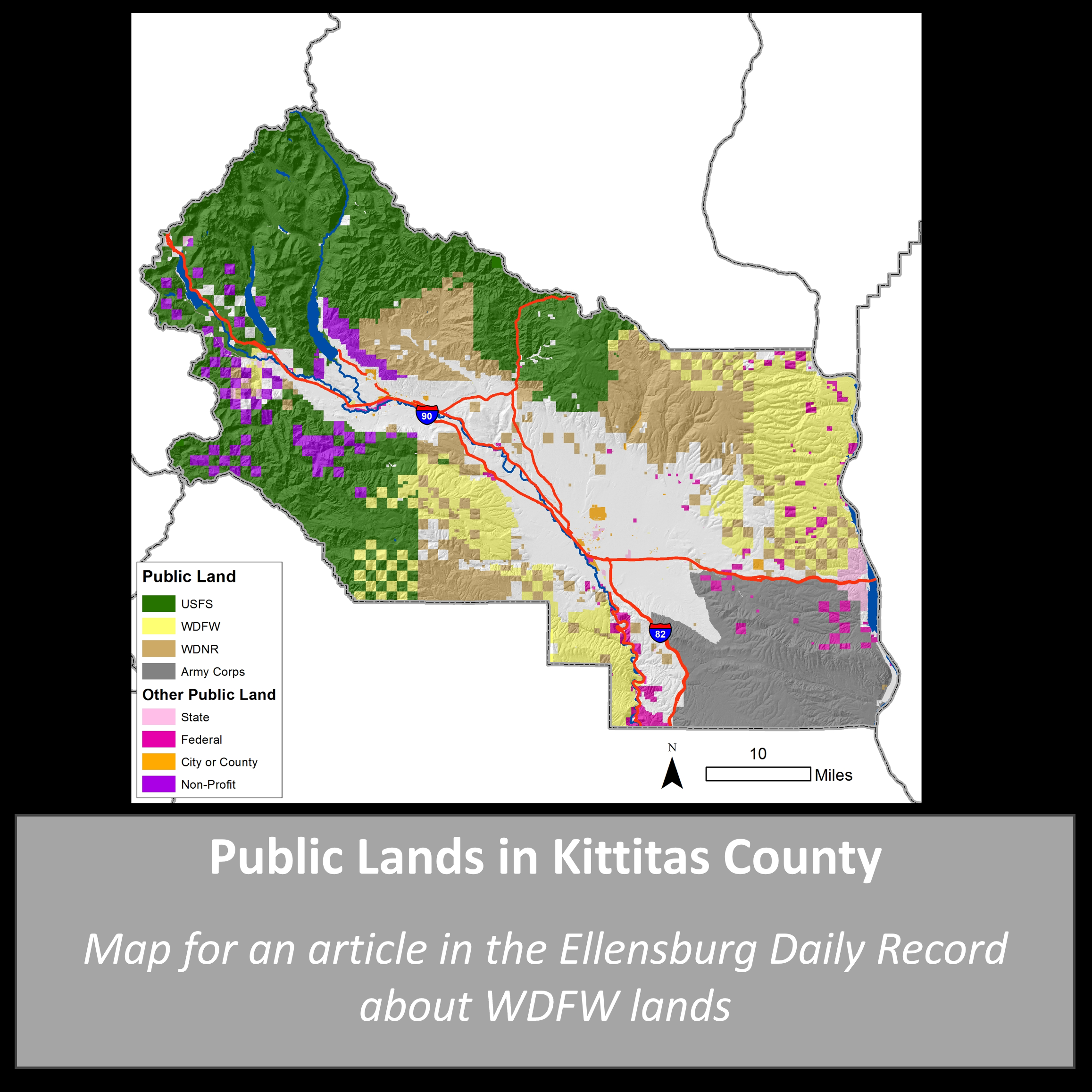
Custom Maps
Tell your story, share what makes your community special, illustrate a story, or get printed maps that have just the information your customers are looking for.
Northwest Portal print maps are built on our extensive recreation data set and templates allowing us to offer an affordable option for custom maps.
Web Maps
Print Maps
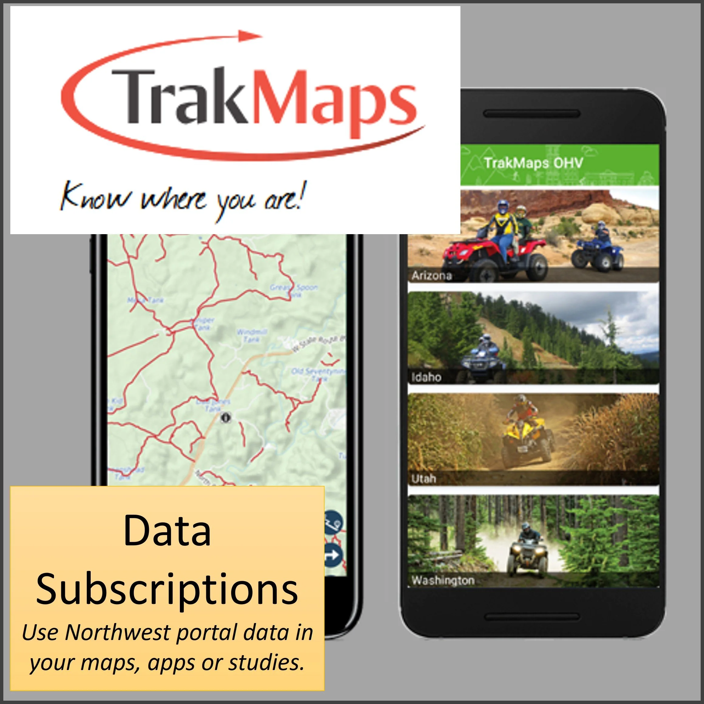
Data Subscriptions
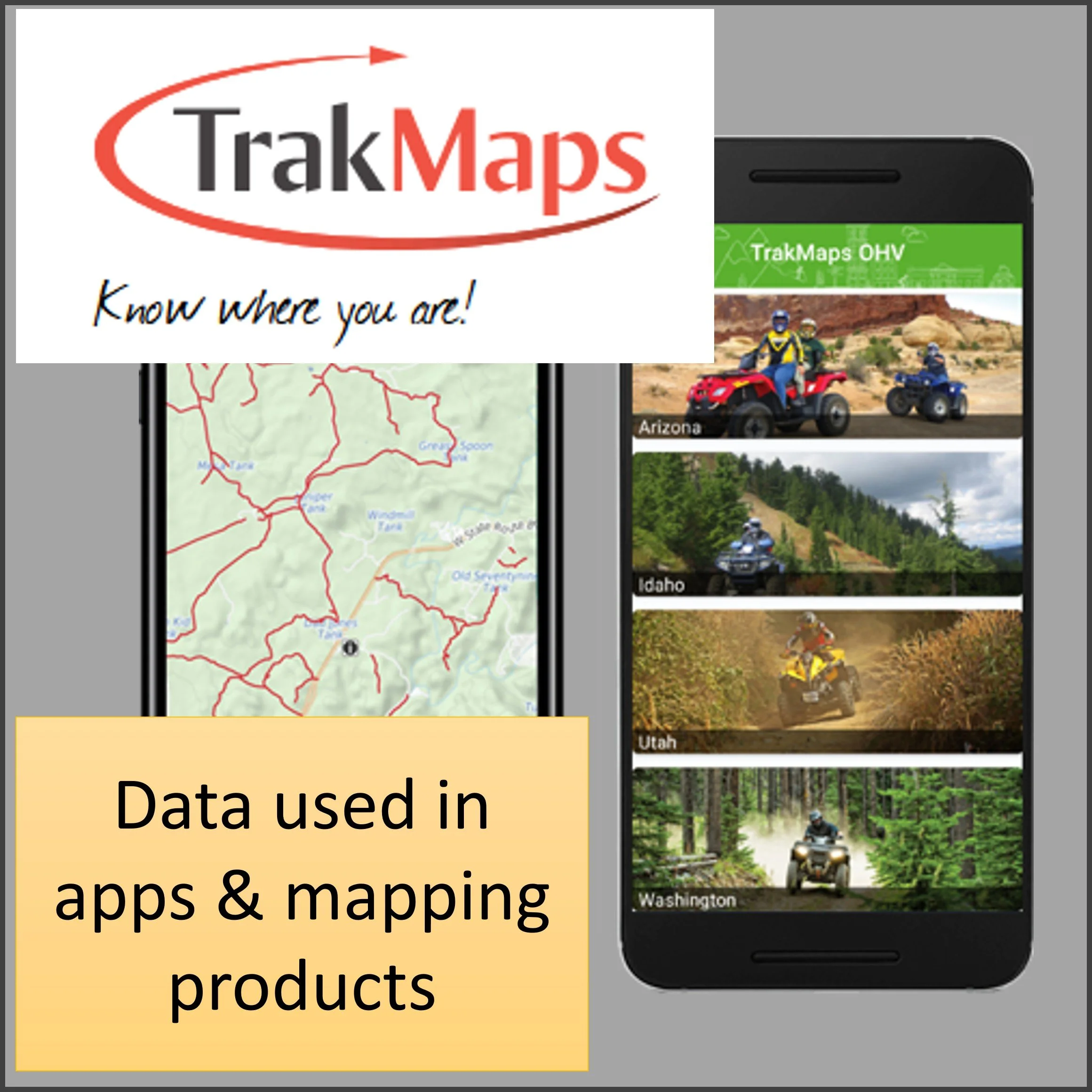
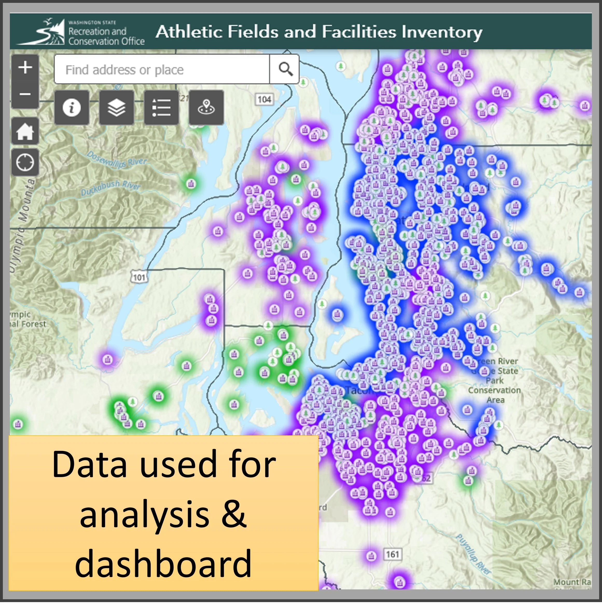
Subscribe to Northwest Portal’s Recreation Data and use it in your mapping system or app.
Data licenses available for any area, activity or data set. All of the data is updated regularly to reflect seasonal/emergency closures and new recreation opportunities. Data is available in several formats, including shapefiles, kmls and GeoJason. Mapbox users can also pull directly from our Mapbox data portal.